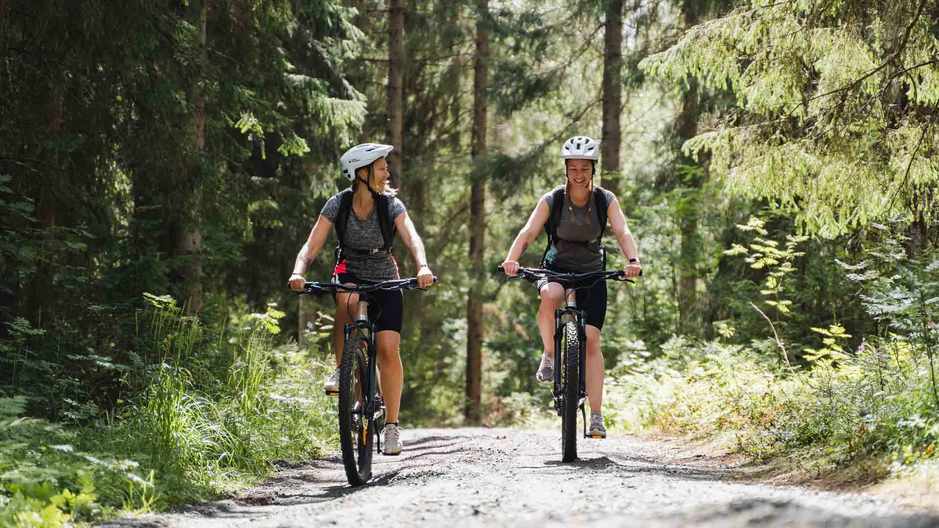
Mountain biking trails

Tahko´s mountain biking trails for summer and autumn
From the outdoor and hiking trails marked in the Tahko terrain, the 14.4 km long Tahkomäen kierros and the 20.1 km long Rahasmäen kierros are also suitable for mountain biking. In addition to the aforementioned, quite challenging routes in terms of altitude differences, there are also opportunities to cycle on smoother tracks, sandy roads, as well as small paths on the slope area and by the beach, making it easy to shuttle between routes.
In addition to traditional mountain bike trails, enthusiasts are also treated to a versatile Bike Park in the slope area.
The official starting point for Tahko’s mountain biking trails, as well as other outdoor trails, is located in the Piazza courtyard at Sääskiniementie 560, 73310 Tahkovuori. Route maps can be found at the courtyard’s info booth, and printed maps are available at almost all companies in the Tahko area.
Tahkomäki route 14,4 km ( Tahkomäen kierros )
The route: Tahko – panorama chairlift bottom station – Panorama Bar & Cafe – Pehku Bar – campfire place Nipanen – Tahko
The route starts along the road from the bottom of the slopes and after chairlift bottom station it continues towards to the top. After a couple of kilometers the route reaches the top of Tahko and comes to Panorama Bar & Café, continuing from there along the road towards Pehku Bar.
The route continues from the Pehku along the road Pehkuntie, before it turns left to the campfire place Nipanen hut ( Nipasen kota ).
The distance to Nipanen from the beginning is 7,5 km. From the campfire place the route begins to head downwards, eventually reaching the skiing trail which leads you back to center of Tahko.
Rahasmäki route 20,1 km ( Rahasmäen kierros )
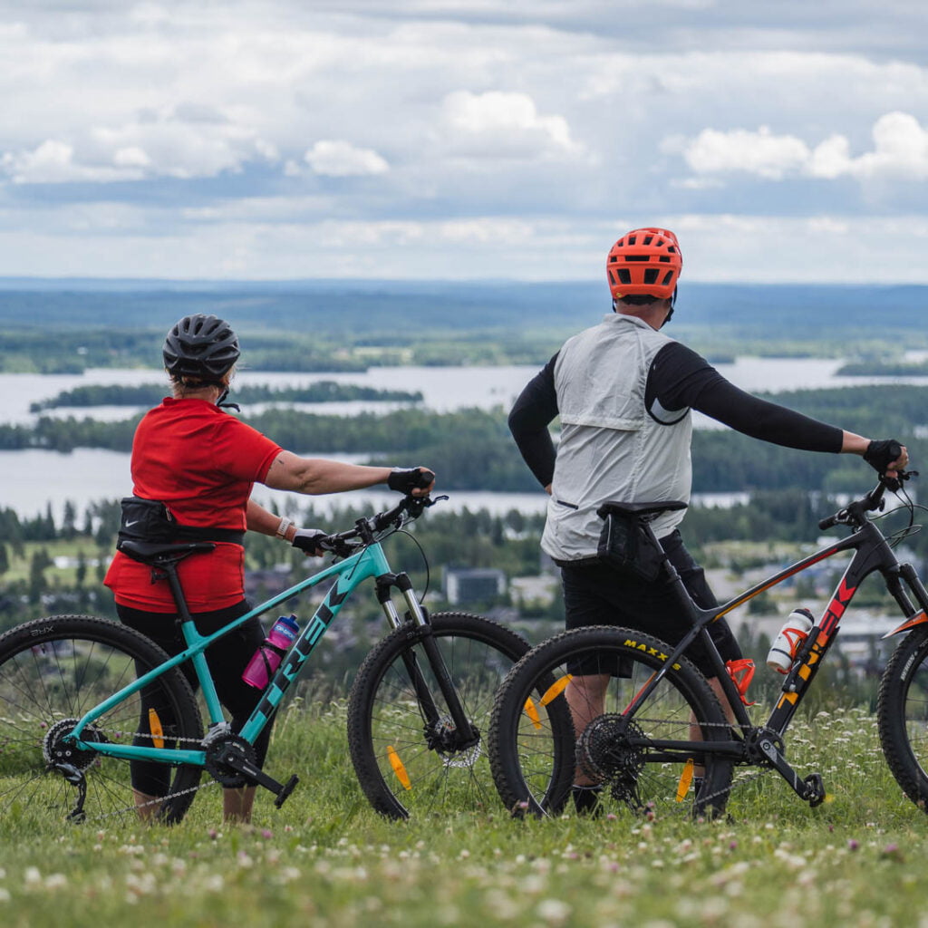
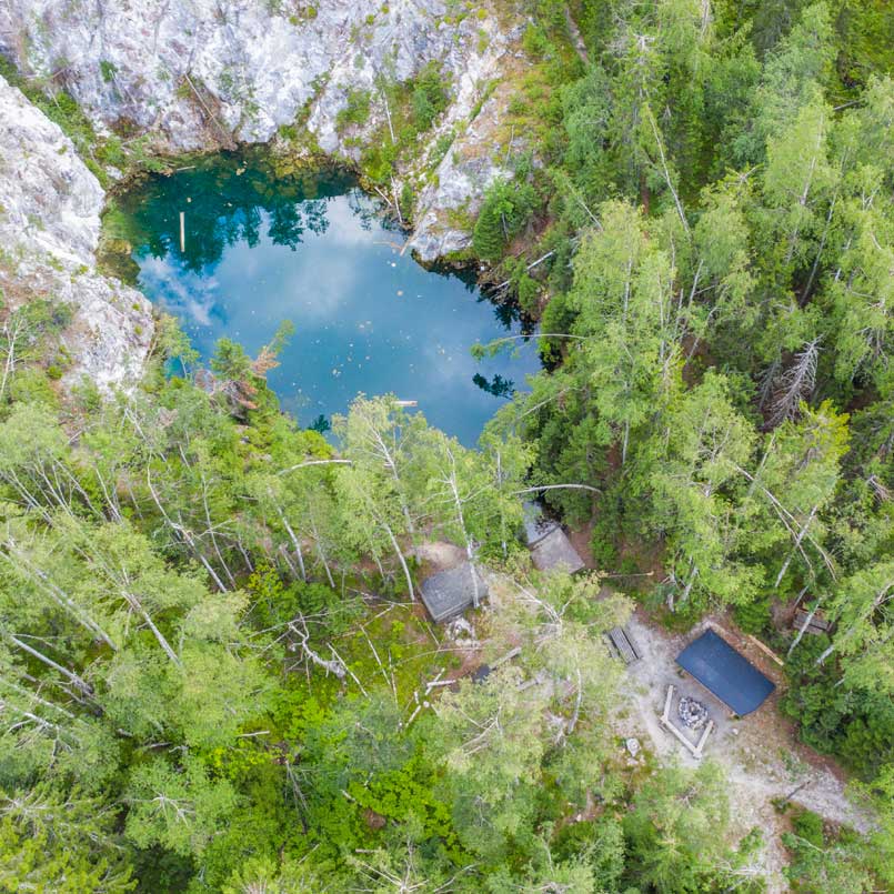
The route: Tahko – panorama chairlift bottom station – Hiekkoniemi – Tahkomäentie – Rahasmäki old mine – Pehkuntie – Nipanen hut – Taukotupa resting spot – Tahko
Rahasmäki route goes around practically the whole mountain of Tahko. There are about 370 meters of ascent on the way and the platform also varies between easy dirt roads and rocky paths. Despite the challenge, the route rewards hikers with amazing views and lovely resting places. Probably the most popular resting place is the campfire place on the shore of the clear-water pond of Rahasmäki old mine ( Rahasmäen laavu ). As a second stop, we recommend Nipanen hut ( Nipasen kota ), where you can eat and warm up even in cold weather. The beginning and the end of the route follows the Tahkomäen kierros.