Winter hiking routes
Get ready for an adventure

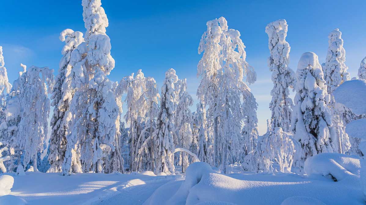
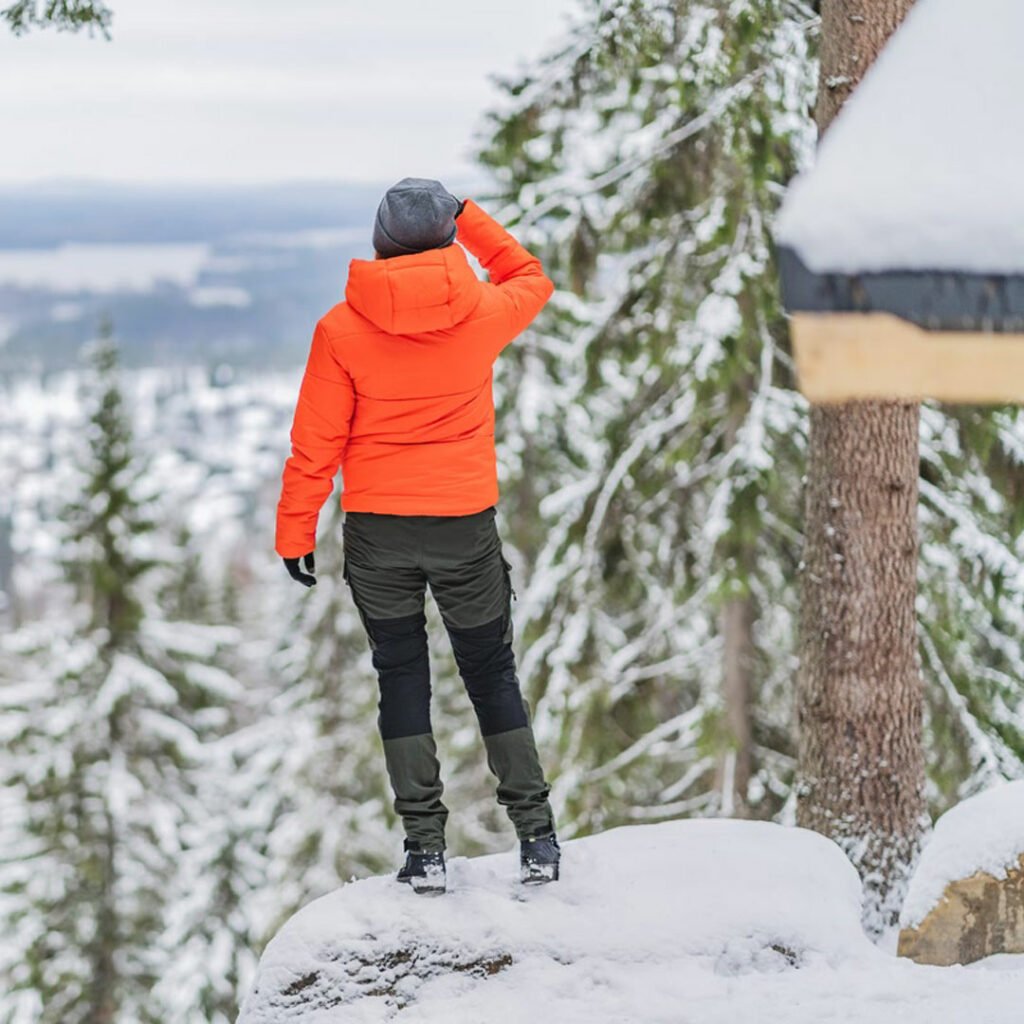
Tahko winter hiking
Tahko, with many winter activities, is also ideal for winter hiking, although the routes are partly different than in summer and autumn. Many of the routes familiar from the summer season are used by skiers, winter cyclists and snowmobiles in winter, but the most popular places to visit can also be reached by foot. Please, note that walking at the slope area is not permitted for safety reasons.
The winter hiking routes marked on the map don’t have any actual maintenance, so snowshoes are often necessary, especially after a snowfall. Usually, you get a pretty good idea of the snow situation on the route from the beginning of the trail.
The winter hiking routes marked on the map doesn’t have any actual maintenance, so the snowshoes might be necessary, especially after a snowfall. Usually, you get a pretty good idea of the snow situation on the route from the beginning of the path.
The lengths for all routes below are reported in one direction.
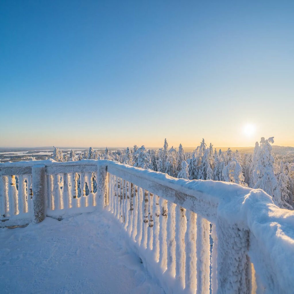
The southern route to the mountain (1,5km)
Huutavanholma – Zipline upper station – Observation tower – Restaurant Pehku
- Starting point: Huutavanholma gate, Tahko valley parking area.
- Endpoint: Restaurant Pehku, Pehkuntie 457.
- Along the way: Nature reserve, viewpoint platform, zipline upper station, observation tower.
- Terrain: Varied forest trails, duckboards, wooden stairs.
- Follow signs: Huutavanholman kierros and Tahkon huippu.
- Special: The return trip can be made via Finland’s longest zipline.
The northern route to the mountain (1,5km)
Hallelujah slope (no. 12) – Mäkiautio gorge – Panorama
- Starting point: Panorama chairlift lower station.
- Endpoint: Panorama Landscape Hotel, Tahkomäentie 335.
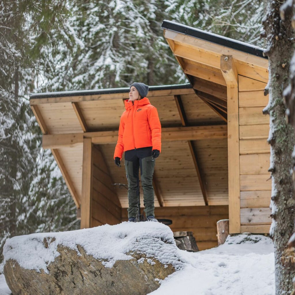
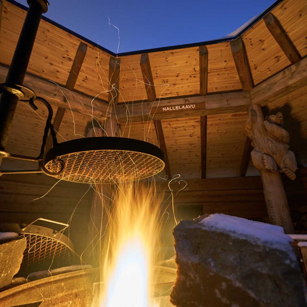
- Along the way: Mäkiautio gorge, Mäkiautio’s lean-to (campfire site, outdoor toilet, firewood), Panorama Bar & Cafe.
- Terrain: Forest trails, gravel path, duckboards, wooden stairs, alongside the snowmobile route.
- Follow signs: Tahkon huippu and Mäkiaution rotko
Family-friendly excursions
Tahkolaakso – Nallelaavu 1,2km
Easy route with minimal elevation changes.
- Starting point: Huutavanholma gate, Tahko valley parking area.
- Endpoint: Nallelaavu. Firewood available, outdoor toilet.
- Terrain: Multi-use trail (for walking, cycling, and snowshoeing), easy to traverse, minimal elevation changes.
- Follow signs: Winter MTB.
- Special: The trail passes by a skiing track near the lean-to shelter.
Panorama – Mäkiautio lean-to about 0,5km
- Starting point: Panorama Bar & Cafe parking area, Tahkomäentie 333.
- Endpoint: Mäkiautio lean-to.
- Along the way: Mäkiautio gorge.
- Terrain: Multi-use trail (for walking, snowmobiles), with stairs and duckboards depending on the route choice. The lean-to can be reached via the multi-use trail or by passing through Mäkiautio gorge.
- Follow signs: Mäkiautio and Mäkiaution Rotko.
- Special: The lean-to offers stunning views overlooking Tahko village. The route provides a walking connection to the vicinity of Tahko Panorama chairlift lower station.